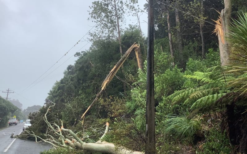
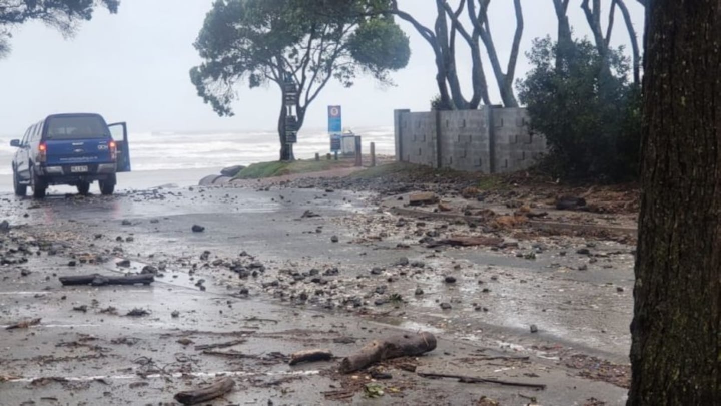
Photo / Supplied / Chris Newson
Cyclone Gabrielle is now affecting the country, bringing severe weather to northern and central New Zealand. Here's what to expect today and over the coming days.
The weather event has been downgraded to a sub-tropical low pressure system from a Category 2 cyclone, which passed over Norfolk Island yesterday. The storm's most destructive winds did not hit the island, the Australian outpost's emergency management authority said.
Despite its downgrading, Gabrielle should not be taken lightly. MetServices' website warns: "Based on the position and intensity of Gabrielle, this system poses a very high risk of extreme, impactful, and unprecedented weather over many regions of the North Island from Sunday to Tuesday."
The cyclone was positioned north of Cape Reinga yesterday afternoon, bringing destructive winds and rain, which began spreading southwards. MetService reported gusts reaching 133km/h overnight. The Far North and eastern parts of Northland have been hit heavily, with fallen trees, slips, flooding and loss of power recorded across the district.
MetService and Niwa are warning the worst is likely yet to come as Cyclone Gabrielle moves down the country.
Above: Live weather tracking as Cyclone Gabrielle crosses Aotearoa. Source / Windy.com
Gabrielle is forecast to lie near the Outer Hauraki Gulf today. East to southeasterlies gales will be severe in many places, turning southwesterly over Northland this afternoon.
The impacts are also expected to spread through to northern parts of the South Island today and Tuesday.
Red Warnings for heavy rain remain in force for Northland (from 9pm Sunday, 12 February to midnight Monday, 13 February), Auckland (from 9pm Sunday, 12 February - 4am Tuesday, 14 February), the Coromandel Peninsula (from 9pm Sunday, 12 February - 4am Tuesday, 14 February) and Gisborne north of Tolaga Bay (from 9pm Sunday, 12 February - 4am Tuesday, 14 February).
Rain in these areas may cause dangerous river conditions and significant flooding. Authorities warn that slips and floodwaters are likely to damage roads, possibly isolating communities.
Red Warnings for severe gales remain in force for Northland (from 9pm Sunday, 12 February - 9pm Tuesday, 14 February), Auckland (from 9pm Sunday, 12 February - 9pm Tuesday, 14 February) and the Coromandel Peninsula (9pm Sunday, 12 February - 9am Tuesday, 14 February).
The wind forecast for these areas is expected to cause widespread damage, especially to trees and powerlines.
People in these regions have been advised to stock up on three days' worth of supplies.

Cyclone winds have caused major damage to the Northpower network, much of it from trees falling through lines. Photo / Supplied / Northpower / Facebook
A seven-day state of emergency was declared for Northland yesterday afternoon, from 4.30pm. Auckland is also in a state of emergency due to the threat posed by the weather event.
Commuter trains in Auckland have been cancelled until at least 3pm on Monday, with most rail replacement buses not available on Tuesday. The harbour bridge has closed yesterday. It was partially reopened this morning, but maybe closed periodically, Waka Kotahi said. Ferry services are also affected.
Most schools in Northland and Auckland have closed. Non-essential services in Auckland, including libraries, community centres, early childhood education centres, and active recreation centres are all shut.
Twenty six emergency shelters and civil defence centres are now open across Auckland. Northland Civil Defence said there were pre-set locations currently being put on standby across the region if required. The locations of these centres, if activated, would be communicated via radio, council websites and Facebook.
Thousands of people were without power across Northland, Auckland and the Coromandel Peninsula overnight on Monday.
Northland Civil Defence said, as of 6am Monday, 17,000 customers in Northland had been left without power.
About 11,000 people were without power in the Coromandel region, as well as in Paeroa and just south of Thames.
Businesses and residents in Auckland remain anxious of further property damage after last week's weather, which left thousands of homes damaged and the ground sodden and prone to slips.
Major routes across northern regions are expected to be closed as the storm intensifies through Monday and into Tuesday. Waka Kotahi NZ Transport Agency said the SH1 between Brynderwyn and Waipu was closed due to large slips, with detours in place. Look out for updates on the Waka Kotahi website.
Northland Regional Council's hydrology team on Monday morning said most of the rain so far had fallen on the east coast, from Kaeo in the north to the Brynderwyns in the south. The highest totals over the 30 hours from 9pm on Saturday to 3am Monday had been near Whangarei, with 188mm recorded by the Glenbervie rain gauge, 174mm at Water Street in Whangārei, and 146mm recorded at Puhipuhi.
Local authorities are warning of higher tides than usual Monday.
Air travel is also impacted - Air New Zealand has cancelled all domestic flights from or through Auckland, Hamilton, Tauranga and Taupō, until at least midday Tuesday.
Some international flights are also either cancelled, or diverted to another New Zealand airport.
The storm is forecast to ease heading into the Wednesday and Thursday, and people in the meantime are being advised by authorities to bunker down, avoid any unnecessary travel and take other precautionary measures to stay safe.
-RNZ


