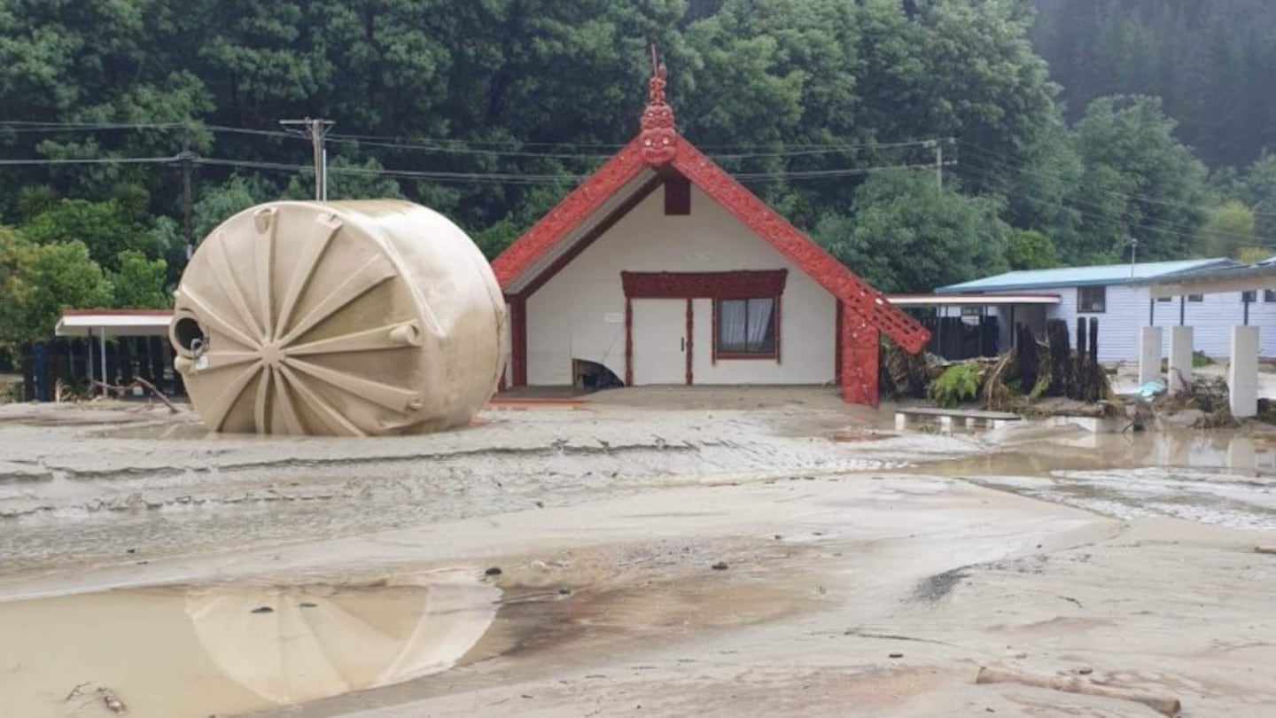
A water tank has been left strewn in front of the wharenui at Tangoio Marae, 20 kilometres north of Napier. Photo / Supplied
Whānau make their way through the flood waters at Omahu near Hastings. Video / Dayna Nuku via Facebook
Hastings mayor Sandra Hazlehurst says the 'devastation' to property and the roading network, including bridges in Hawke's Bay is "hard to believe".
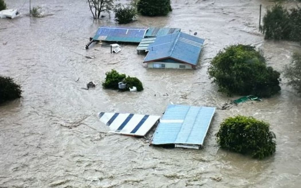
The township of Fernhill, west of Hastings after the Ngaruroro River burst its banks. Photo: Supplied / Dawson Bliss

Tangoio Marae 20 kilometres north of Napier, where the wharenui is swamped in mud. Photo / Supplied
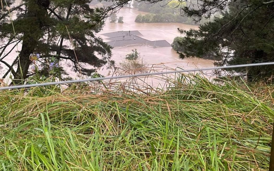
Flood waters reached up to the roof of this house in Rissington, northwest of Napier. Photo: Supplied / Adam Hedley
@k.eitaheke Tāku Haukāinga #cyclonegabrielllenz #flooding #hawkesbaynz #nz ♬ Haramai Roimata - Ka Hao
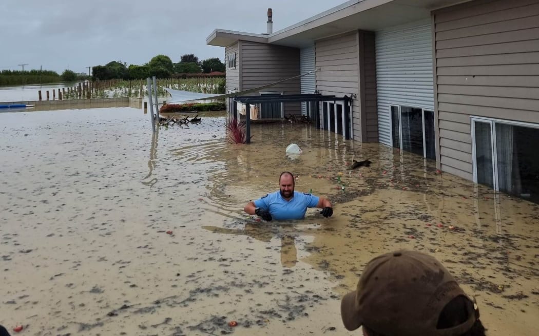
Police using a small boat rescued this resident from a flooded property in Meanee in Napier. Photo: Supplied / Bradley Goldfinch
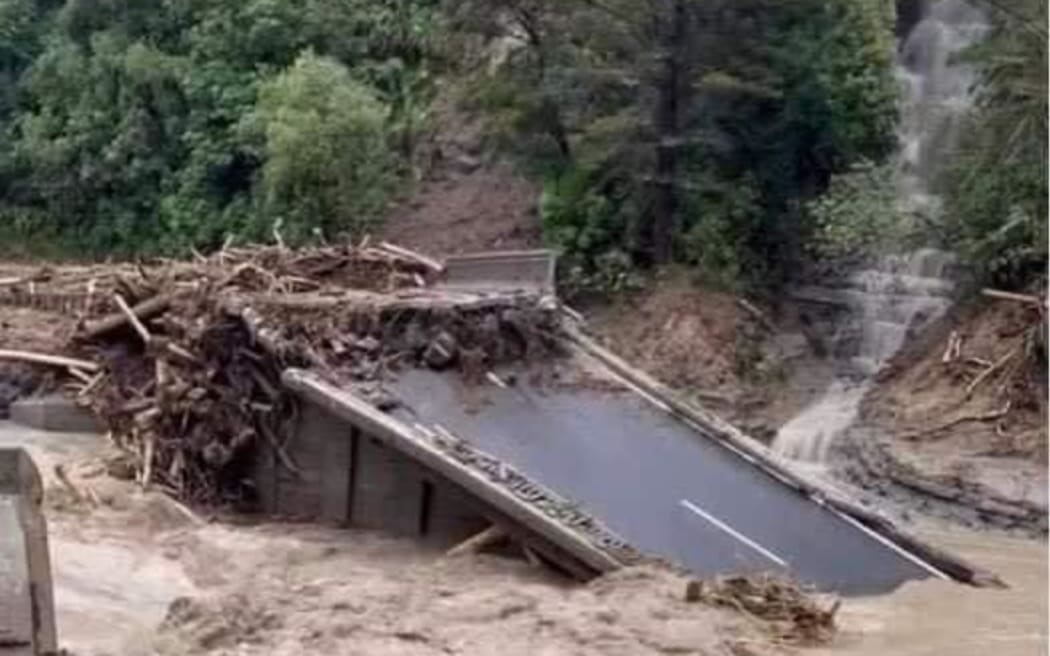
The Waikare Bridge at Putorino on the SH5 from Napier-Taupō. Photo: Supplied / Tony Alexander
@laahhmcconville My heart is so broken for the people of our home 💔 #cyclonegabrielle #newzealand #hawkesbay ♬ original sound - sunflwr.audios

A bird's eye view of the floods wreaking havoc across Hawke's Bay after cyclone Gabrielle hit the rohe on Tuesday. Photo / Supplied
Pasifika workers in Hastings sought shelter on a roof and were later rescued by the Defence Force using a helicopter. Video: Taeao o Samoa via Facebook
@buzzie98 Evacuating people and dogs from homes flooded by the Tutaekuri River, Hawkes Bay. #cyclonegabrielle #hawkesbay ♬ original sound - Bronwyn Roberts21
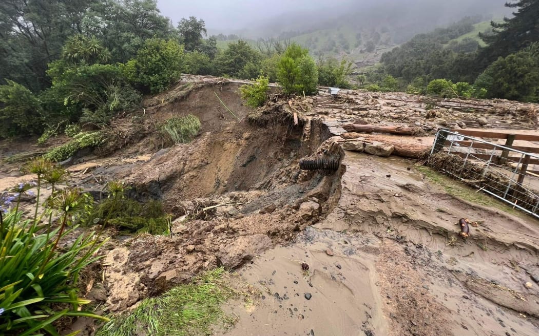
The Napier-Taupō highway has suffered substantial damage. Photo: Supplied / Tony Alexander
CYCLONE GABRIELLE: UPDATED STATUS - Dark horse on the roof is DECEASED. Location: Dartmoor Road (Hawke’s Bay) •Dark...
Posted by New Zealand Equestrian Scene on Tuesday, February 14, 2023
A horse photographed on a barn roof at Dartmoor Road, Hawke’s Bay. Photo / Facebook
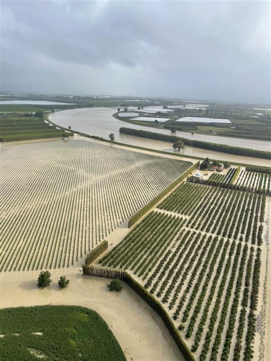
The Waipaoa River, near Gisborne Photo: Supplied/ Ray Worters
* Read more: Two dead in Hawke's Bay amid Gabrielle devastation
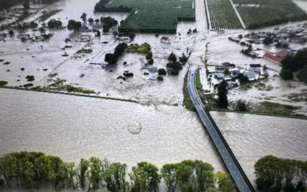
The small township of Fernhill, west of Hastings, after the Ngaruroro River burst its banks Photo: Supplied / Dawson Bliss
@missmea1 #duet with @Laahh McConville #cyclonegabrielle #hawkesbay #newzealand ♬ original sound - Laahh McConville
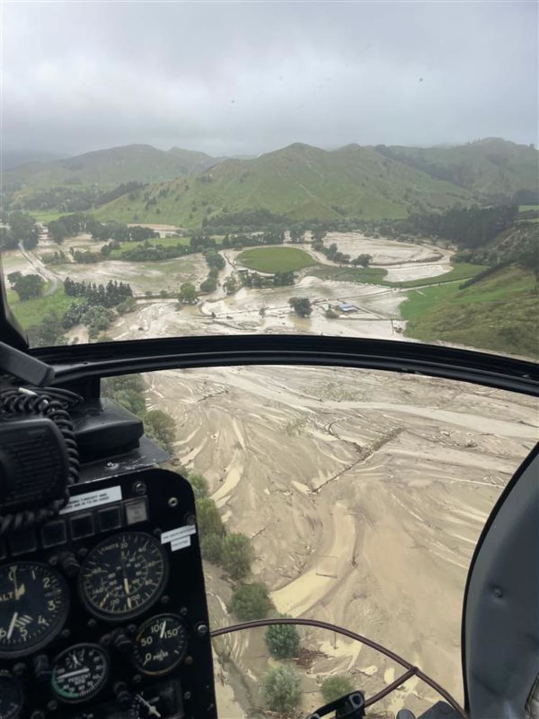
The Waipaoa River, near Gisborne Photo: Supplied/ Ray Worters
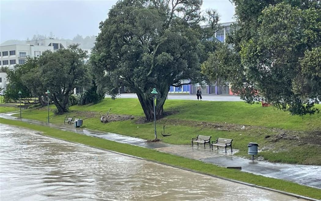
The high water line is clearly visible along the Taruheru River in Gisborne Photo: Supplied/ Kate Green
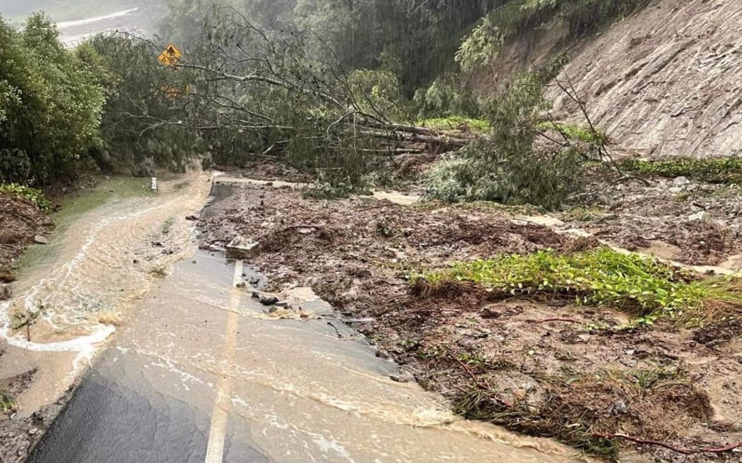
Slips and foliage blocking a one-way bridge in Rissington Photo: Supplied / Adam Hedley
@sssefa92 Hastings Hawkes Bay, Praying for everyone and our RSE brothers #cyclonegabrielle ♬ original sound - Joseph Sipaia
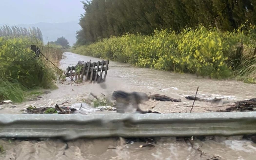
Ormond Road, Gisborne Photo: Tairawhiti Civil Defence
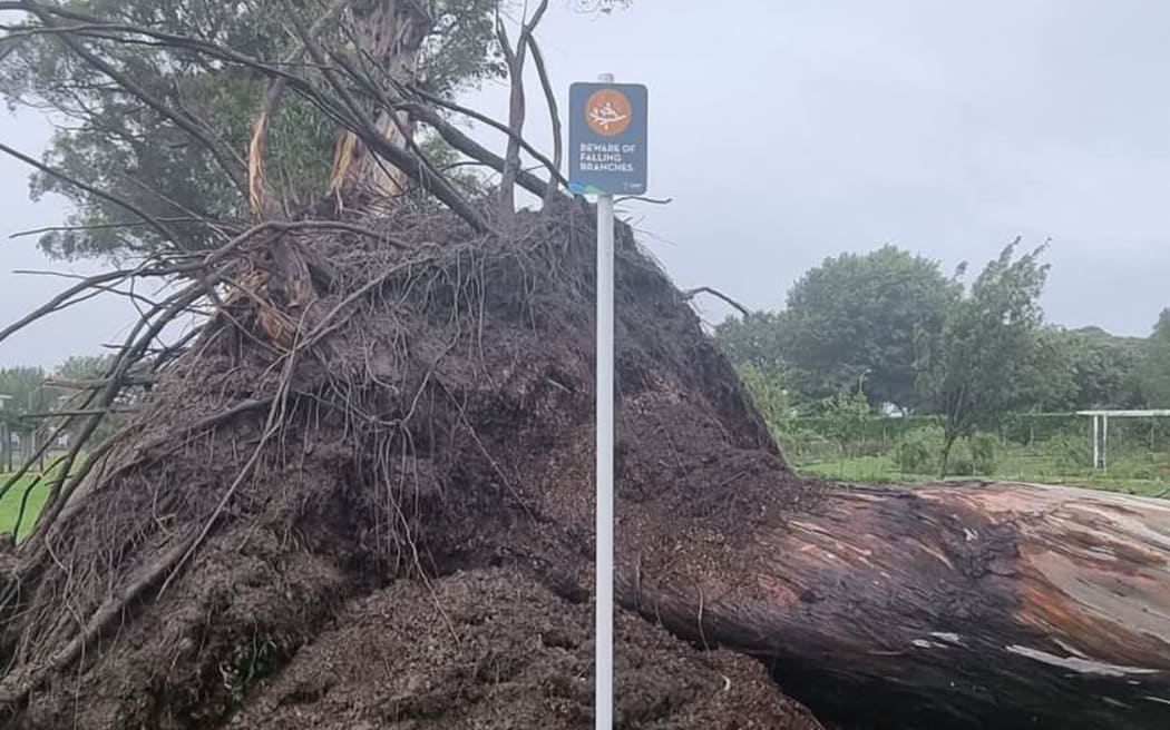
A falling gum tree behind a 'beware of falling branches sign' in Mārewa Photo: Supplied / Paula Thomas
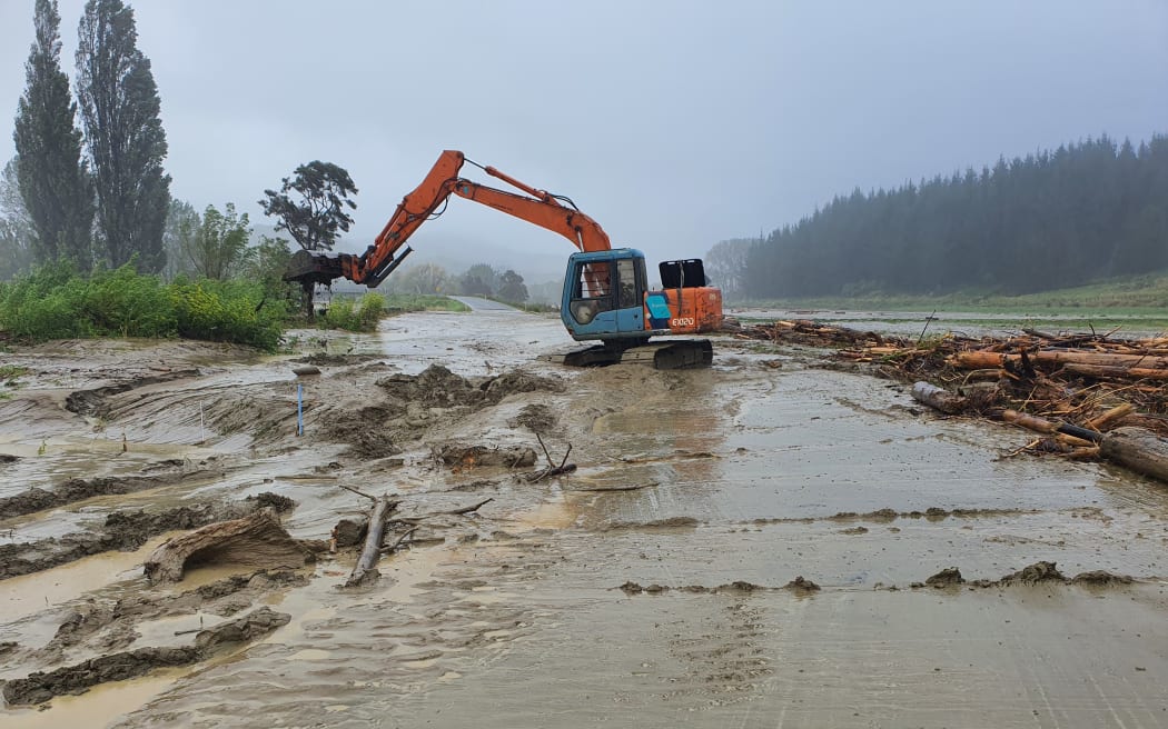
More forestry slash was strewn about in Tolaga Bay Photo: Supplied / Bridget Parker
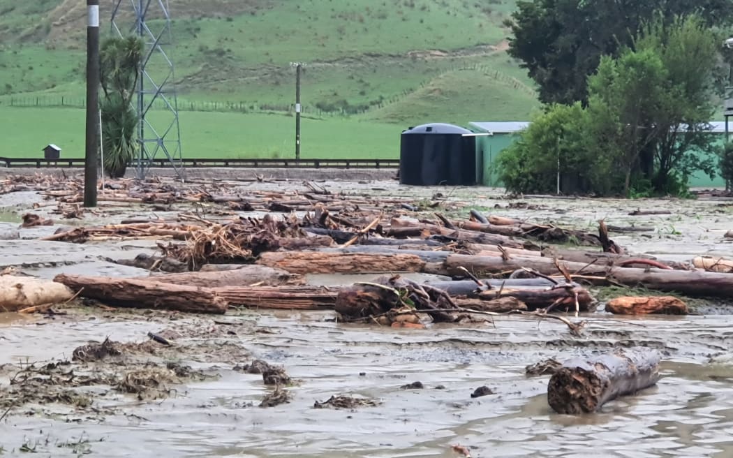
Tolaga Bay farmers reported forestry slash and land damage Photo: Supplied / Bridget Parker

The empty car park at Countdown Napier - supermarkets and many other businesses closed for the storm Photo: RNZ/ Krystal Gibbens
National state of emergency: What you need to know
- The New Zealand government has declared a National State of Emergency, to assist in the response to Cyclone Gabrielle.
- The declaration will apply to the six regions that have already declared a local State of Emergency: Northland, Auckland, Tairāwhiti, Bay of Plenty, Waikato, and Hawke's Bay.
- A national state of emergency gives the national controller legal authority to apply further resources across the country and set priorities in support of a national level response.
- Put safety first. Don't take any chances. Act quickly if you see rising water. Floods and flash floods can happen quickly. If you see rising water do not wait for official warnings. Head for higher ground and stay away from floodwater.
- Stay at home if it is safe to do so. But have an evacuation plan in case your home becomes unsafe to stay in.
- If you have evacuated, please stay where you are until you are given the all-clear to go home.
- People should stay up to date with the forecasts from MetService and continue to follow the advice of Civil Defence and emergency services.
- Do not try to walk, play, swim, or drive in floodwater: even water just 15 centimetres deep can sweep you off your feet, and half a metre of water will carry away most vehicles. Flood water is often contaminated and can make you sick.

