Gisborne land adaptation shifts have received positive feedback from both the Eastland Wood Council and an environmental group.
The region’s farmers and forestry companies might end up with designated land they can’t operate on under new council plans.
Council chief executive Nedine Thatcher Swann said they were looking at more accurate identification and management of erosion risks across Tairāwhiti.
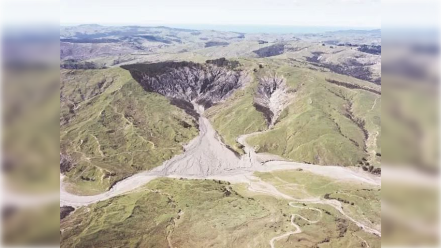
“Overlay 3B” is coined in council reports as “the worst eroding land across the region”.
Through identification, Gisborne District Council aims to “landmark” these areas, mandating some pastoral farming and forestry owners to transition their land into permanent vegetation cover.
A council report says the land use changes “crystalised in the wake of cyclones Hale and Gabrielle in early 2023”.
Overlay 3B is an extension of the current land overlay framework in the Tairāwhiti Resource Management Plan (TRMP).
Gisborne District Council (GDC) requested Manaaki Whenua — Landcare Research to help identify which areas in the region have a high likelihood of landslides, and whether these landslides will affect waterways.
According to a council report, the map was completed in March 2024.
“The model utilises advanced technology and builds on previous regional research,” Thatcher Swann said in a statement.
“It analyses where landslides occur and their potential to impact waterways, drawing on data collected across the region.”
Eastland Wood Council (EWC) chief executive Philip Hope said they received the database just over a week ago and were still working through what it meant for EWC members.
“At an initial glance, we believe it is a marked improvement on previously available mapping for Tairāwhiti.
“Our industry is working through meetings with Gisborne District Council to better understand the information, including how it was developed.”
It would take time to understand the data and talk to their members to form views on this model, Hope said.
“We expect it will have significant implications on how all land is managed in the future and think it could be a useful tool as our district works towards increasingly sustainable land use, such as retirement, rehabilitation and conversion – and where appropriate, the status quo.”
EWC would continue to work with the council, iwi and mana whenua on sustainable land use and planning in Tairāwhiti, he said.
Mana Taiao Tairāwhiti (MTT), a Gisborne group that organised a petition calling for land-use rule changes, said it was pleased the new landslide susceptibility and connectivity map had been released.
“It is great to see the maps compiled by scientists who know this region intimately and have used the latest tools to classify the risk in every square metre of Tairāwhiti,” co-founder Tui Warmenhoven said.
“Now we can have a robust science-informed debate about what, if any, commercial activities are consistent with the wellbeing of the land, waterways and coastal marine areas.”
MTT said it was also encouraged to hear that the council would investigate the economic, social, cultural and environmental impacts of the rule changes.
“It is really important to understand who and what will be affected by these changes — both positive and negative impacts for everyone, from specific streams and rivers to residents, ratepayers, farmers and the overseas owners of pine plantations,” MTT spokesman Manu Caddie said.
Local Democracy Reporting approached Federated Farmers for comment but the federation was unable to provide it at the time of the request.
The council will work with tangata whenua, landowners and communities before confirming which land falls into Overlay 3B and will propose options for land management in these areas, according to a council statement.
Local Democracy Reporting is local body journalism funded by RNZ and NZ On Air


